Products
GISIZE GIS
Improves the visualization and navigation of spatial or geographic data in AVEVA System Platform
Improves the visualization and navigation of spatial or geographic data in AVEVA System Platform
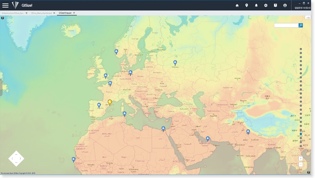
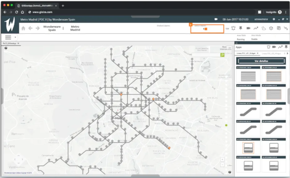
Integrates AVEVA System Platform assets with any GIS provider (ESRI/ARCGIS, OpenStreetMaps, GoogleMaps, Bing, etc.) through standard WMS and WFS services, or create your own map providers based on CAD and vector files.
What advantages does it offer you?
Reduces engineering time
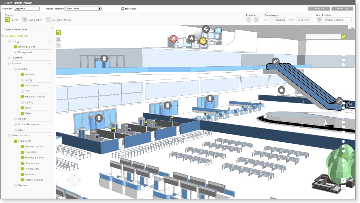
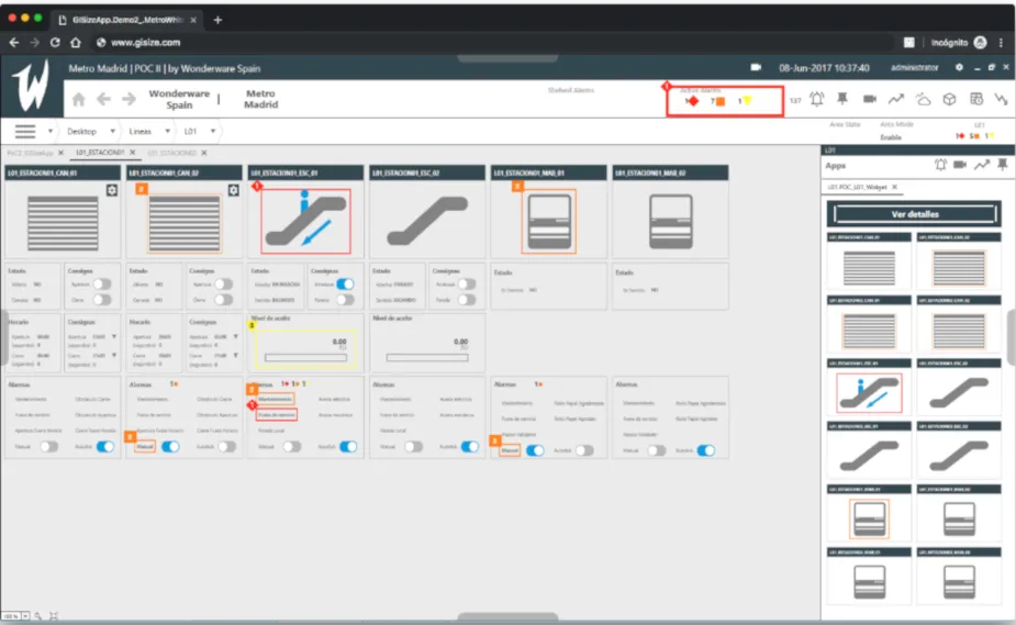
Development environment within AVEVA System Platform IDE, with the possibility of automatically creating GIS items based on the objects in the galaxy.
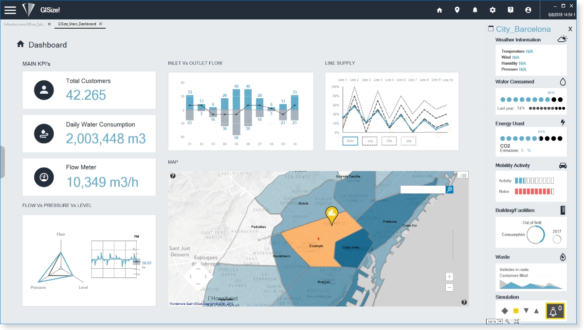
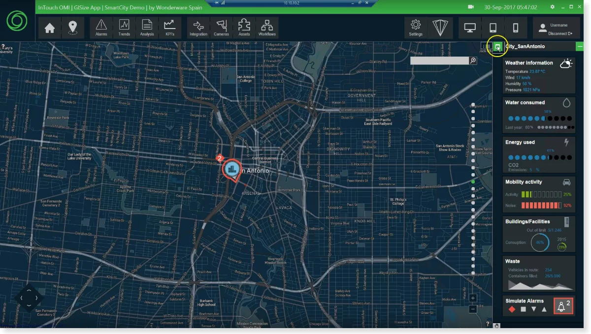
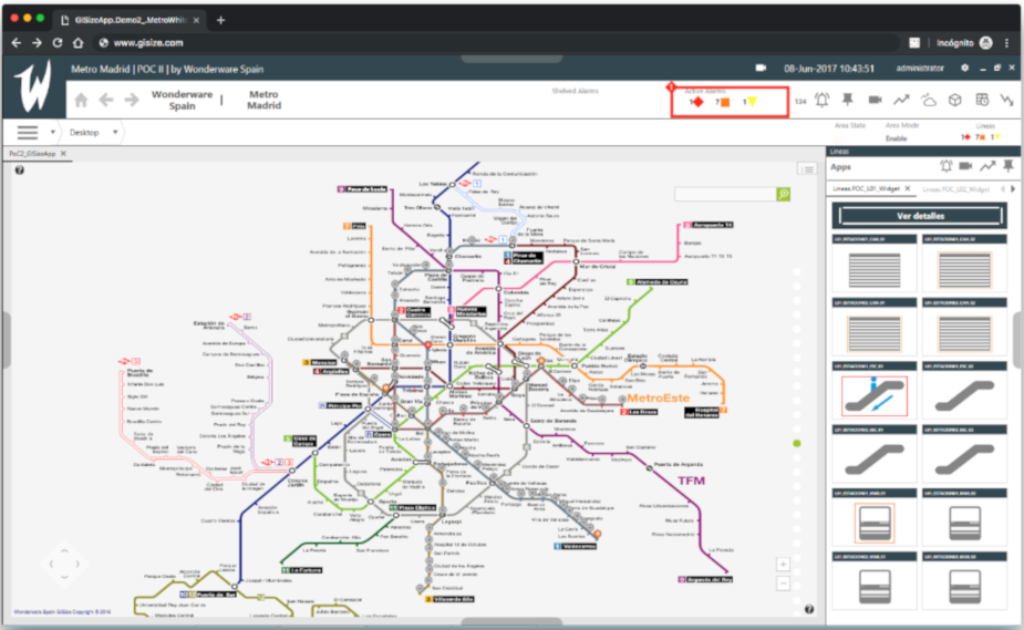
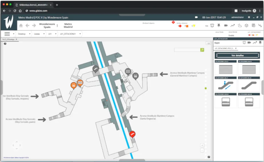
Interactive navigation with GIS
Native zoom and scroll controls to move around the map and view the elements organized by layers.

Choose the map provider
It is not only compatible with standard map/GIS providers, with ESRI, ArcGIS, WFS and WMS integration, but also allows you to create custom map providers based on images or vector files.
Industrial Graphics
Render Industrial Graphics within the map and take advantage of its animations to interact with the application.
Overcome the challenges of infrastructure projects in real time
Real-time infrastructure management projects present challenges that require increasing productivity by reducing engineering and implementation time, while ensuring project quality and meeting customer expectations and needs.
Get more information
Get in Touch with an Expert
Fill in your information and we’ll contact you.